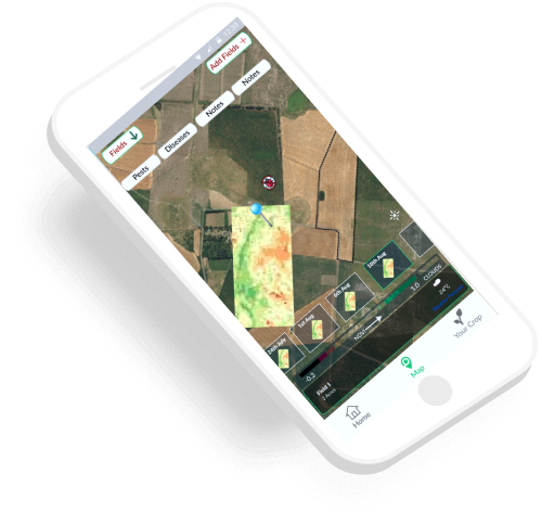
Monitor your field using satellite imagery.Draw your farm boundaries and get latest updated and free satellite imagery data of field. Satellite Based remote monitoring provides abundance of info at various stages of crop which help in important decision making.
Ikshana provide NVDI maps for field which help in identifying the problem spots in field and also monitor the progress of crop during the entire season.